


ArmInfo. Armenia is set to centralize all spatial data and state permits on a unified National Geoportal. On April 29, the National Assembly's Economic Affairs Committee approved amendments to the Law "On Spatial Data."
Introducing the amendments, Suren Tovmasyan, Chairman of the Cadastre Committee, noted that the continuous development of spatial data is the basis for integrating information stored and managed by various bodies and ensuring its accessibility to entities investing or planning to invest in Armenia. With this data, investors will be able to make informed decisions using the spatial data infrastructure—the national geoportal and its associated integrated layers. Tovmasyan stated that the project aims to integrate all types of permits issued by communities and government agencies into the national spatial data infrastructure— the geoportal—within a set timeframe.
"This means that any government agency issuing permits for, for example, mining, water use, or construction must, within a specific timeframe, must show this information on the RA national geoportal, and it must be available to public," the head of the Cadastre Committee clarified.


 Political scientist: Real recount will deprive Pashinyan of any constitutional majority
 Expert: Even OSCE observers recorded numerous violations during elections in Armenia
  Armenia`s ex-minister of justice calls on opposition to honestly answer questions troubling Armenian citizens
 Elections in Armenia were accompanied by unprecedented pressure on opposition, RF MFA spokesperson claims
  Moscow to await official results of Armenian elections - Peskov
 Antonio Costa: EU to deepen its partnership with Armenia, expanding cooperation in energy, trade, and digitalization
 Israeli MFA congratulates Pashinyan
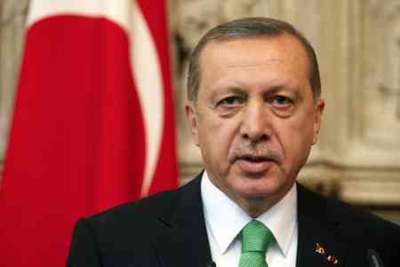
 Turkish MFA comments on results of Armenian elections
  Zakharova: International observers cannot ignore `flagrant violations` in Armenian elections
 Strong Armenia to issue statement after vote count completed - Narek Karapetyan
 Russian Senator: Opposition complaints regarding election violations by ruling party remain unanswered
 RA premier receiving congratulations on his victory in parliamentary elections
 Head of IPA CIS Council Secretariat: Extremely difficult atmosphere during parliamentary elections campaign in Armenia accompanied by mass arrests
 Pashinyan`s party leads with 51.13% based on vote counts from 533 polling stations
 Voting in parliamentary elections in Armenia ends
  Strong Armenia: Administrative Court not providing judicial decisions to citizens wishing to vote in parliamentary elections